Category:Maps of islands of Greece
Subcategories
This category has the following 32 subcategories, out of 32 total.
Media in category "Maps of islands of Greece"
The following 28 files are in this category, out of 28 total.
-
Adelfia from space.jpg 1,280 × 1,150; 497 KB
-
Ammouliani001.png 200 × 204; 34 KB
-
Greece islands cyclades.png 200 × 204; 32 KB
-
Greece islands dodekades.png 200 × 204; 32 KB
-
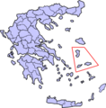
Greece islands east sporad.png 200 × 204; 32 KB
-
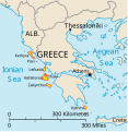
Greece islands ionian.png 200 × 204; 33 KB
-
Greece islands north sporad.png 200 × 204; 31 KB
-
Greece location map (Island of Milos)-2.svg 1,003 × 825; 674 KB
-
Greece location map (Island of Milos).svg 1,003 × 825; 674 KB
-
Griechenland Sporaden.JPG 729 × 534; 85 KB
-
Griechische Inseln.svg 968 × 795; 602 KB
-
Ionian Islands fr.svg 532 × 547; 284 KB
-
Ionian Islands.svg 532 × 547; 281 KB
-
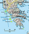
Ionian-Islands.jpg 337 × 397; 44 KB
-
IonianEng.jpg 1,965 × 3,485; 1,002 KB
-
Isole della Grecia-es.svg 1,003 × 825; 1.48 MB
-
Isole della Grecia.svg 1,003 × 825; 778 KB
-
Kos greece.PNG 200 × 204; 18 KB
-
LupaLesbos.PNG 797 × 510; 113 KB
-
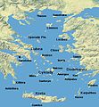
Morze Egejskie.jpg 434 × 469; 45 KB
-
NorthSporadi.jpg 2,221 × 1,504; 339 KB
-
NorthSporadiEng.jpg 2,221 × 1,508; 354 KB
-
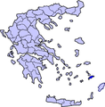
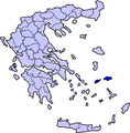
Samosgrecia.png 200 × 204; 18 KB
-
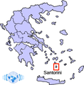
Santorini-Wikinews.png 200 × 204; 27 KB
-
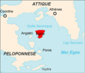
Situation-Egine.png 300 × 258; 12 KB
-
The map of the island.jpg 1,104 × 764; 186 KB
-
Νησιά της ελληνικής επικράτειας.svg 1,288 × 1,059; 791 KB


